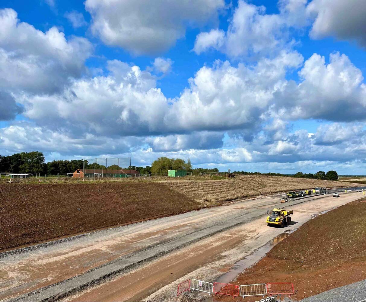
29 April 2020
Geomapping Transforming The Way Clients Engage With Swipe Data
Geomapping is a new feature included in the recent SkillGuard 5.1 update, which is transforming the way our clients engage with the wealth of swipe data within the system.
Another unique feature included with the 5.1 update is messaging.
Learn About SkillGuard Messaging
Each time a worker swipes on or off site, SkillGuard records this within the database. This data has always been accessible in a tabulated format, but augmenting the data with interactive maps has enabled clients to extract more insights from the information. Users can see which workers have swiped in at which sites and where these sites are:
They are also able to interact with the map by clicking on site icons to bring up more details, such as:
This data is invaluable both for health and safety and project managers who want to get a better view of the embedment of their SkillGuard system. The surprise has been how many further advantages geomapping offers our clients; they are finding that the new visualisation of data provides intelligence with benefits across the entire organisation, it gives:
Geomaps In Action
A client urgently needed more workers at one site. SkillGuard's geomaps helped them quickly identify the closest site with enough workers to reallocate. They then used SkillGuard's messaging module to request volunteers to travel to the site in need.
This took minutes; in the past, it would have taken hours or days or simply not been possible at all.
This is one example of how SkillGuard helps clients keep their workforce safe and effective.
Want to learn more about how SkillGuard is helping organisations like Network Rail, Tarmac, Highways England and Thames Water protect their workers with innovative technology? Click here to read our case studies.
Read our news, thought pieces and industry articles relating to SkillGuard and its implementation, as well as our client experiences.